Forensic Architecture maps Yellow Line expansion as territorial control mechanism
1 Oct 30 · 12d ago · 1 post · 1 source · development 1 of 2
Forensic Architecture's 'Cartography of Genocide' project details how Israel uses the Yellow Line, presented as a temporary ceasefire demarcation marking 54% of Gaza under Israeli control, to systematically expand territorial control. Over 100 concrete yellow blocks have been placed beyond the agreed withdrawal line, with Israel also imposing an Orange Line encroaching more than one kilometer further.
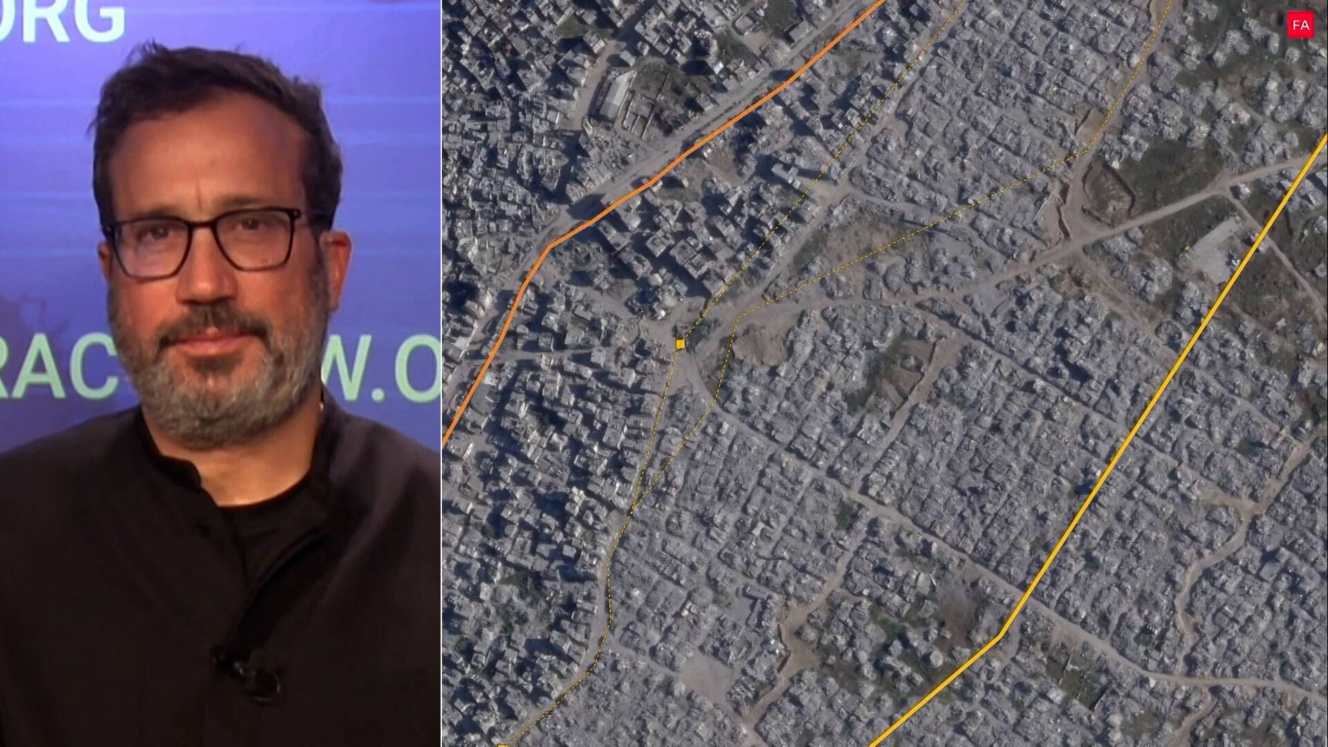
“When the ceasefire came into effect, most of the area Israel had depopulated remained under its control...Instead, Israel is using the line to expand its control.”
Forensic Architecture narratorEyal Weizman Director, Forensic ArchitectureForensic Architecture Research organization investigating state violenceU.N. Independent International Commission of Inquiry UN-commissioned investigatorsIsraeli Mission in Geneva Israeli diplomatic representation
The whole story posts the bright band is this development · numbered dots are the others · click one to jump
What was reported 1 claim about this development
-
1 outlet “Ungrounding”: Eyal Weizman on Gaza Genocide & Israel’s “Permanent Architecture of Control”
first by Mastodon, 12d ago
All 2 developments of Weizman: Israel destroying genocide evidence through Gaza… →
MastodonBluesky